Imperial County is intriguing — at least for me anyway.
The reason is simple. It is the only one of the 58 counties in California I’ve never visited.
It also happens to be the newest county as it was carved out of San Diego County in 1907.
Imperial County is where you will find what some call “the biggest environmental disaster in California history” — the Salton Sea. Some may argue that is a bit of an overstatement given what Los Angeles did to Owens Lake that once covered 200 square miles before being sucked almost dry or what farmers in the South San Joaquin Valley did to Tulare Lake.
Tulare Lake disappeared in the late 19th century despite in 1850 being the largest freshwater lake west of the Mississippi River and the second largest freshwater lake completely within the United States given almost all of the Great Lakes are split between Canada and the United States. It once covered 570 square miles up to a depth of 46 feet. It rapidly disappeared after farmers started diverting water from the Kings River for irrigation.
Today the Salton Sea is California’s largest lake covering 343 square miles.
It was created by accident in 1905 by the California Development Company that was cutting a third diversion point to send Colorado River water to irrigate their crop land. The cut collapsed. For two years until the company finally stopped and fixed the breach, water flowed to the Salton Basin creating what is now the Salton Sea.
The lowest ground in the Salton Basin at one point was 236 feet below sea level. Over millions of years extremely rare periods of heavy precipitation in the West would send water overflowing from the Colorado River into the basin to create small lakes.
The Salton Sea today is fed almost exclusively by agricultural drainage water that has its own salinity issues. But here’s the rub: If agricultural drainage ceased or was reduced substantially for several years, salinity in the Salton Sea would skyrocket and its fish would die off.
It is why the Salton Sea is unique in the environmental quagmires in California.
You will find the Sonny Bono National Wildlife Refuge as part of the Salton Sea where migratory birds as well as year round waterfowl — including the endangered Yuma clapper rail — count on to survive. It is on the Pacific Flyway. And, yes, it was named after “that” Sonny Bono whose more enduring legacy when he served as a congressman was his effort to save the Salton Sea.
Imperial County got its name from the “repackaged image” of the California Development Company after its disastrous irrigation cut. The firm renamed itself the Imperial Land Company after the Imperial Valley that straddles both sides of the United States-Mexico border.
What’s in a name?
Imperial County is the only county named after a corporation.
You will find a few named after Spanish land grants such as Colusa.
When it comes to name dropping there are 12 counties named after saints directly or indirectly — Ventura, San Luis Obispo, Santa Cruz, San Joaquin (Saint Joachim is the father of the Virgin Mary), San Francisco, San Mateo, Santa Clara, Santa Barbara, San Diego, San Benito, Los Angeles and Merced. Sacramento doesn’t fall in that category although it is derived from the Spanish word for “the most holy sacrament”.
Thirty, or more than half of the 58 counties are named after Spanish words for features or individuals.
Stanislaus is named after Estanislao — a native indigenous chief during the mission era that led an uprising including a famous battle along the Stanislaus River south of Manteca and west of Ripon. Estanislao was the inspiration for Ripon High’s mascot.
There were 27 original counties when California was conveyed statehood in 1850.
The list includes San Joaquin County. Stanislaus County didn’t come into existence until 1854 when it was carved out of Tuolumne County. Merced County was part of Mariposa County until 1855.
Amador County — named after a Spanish solider, rancher, and miner — was formed from Calaveras County in 1854. Calaveras, by the way, is Spanish for “skulls”.
Counties are big
here in California
You will find the largest county in size in the Lower 48 states in California. That’s San Bernardino County with 20,062 square miles.
Even one of California’s smallest counties — Alpine at 739 square miles — can hold its own. It is just over half the size of the smallest state in the union which is Rhode Island that has five counties. Alpine County, however, is dwarfed by Death Valley National Park at 3,000 square miles.
For the record, the smallest county in the state is San Francisco at 47 square miles. There are also almost as many hills — or more depending upon whose definition of a hill you go by — in the County of San Francisco. Forty-two or 43 is the generally accepted number while some go as high as 72. That includes Goat Hill on Yerba Buena Island in the middle of the bay and two hills on the Farallon Islands, four groups of islands with a combined 211 acres that are teeming with birds 28 miles off shore.
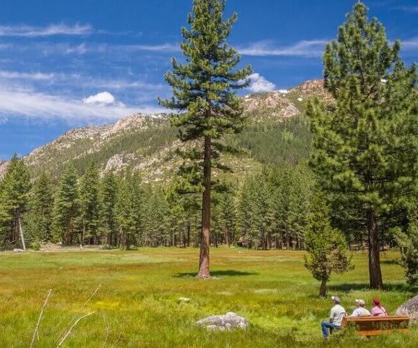
There are nine national parks in California, the most of any state. They are Death Valley, Yosemite, Sequoia, Kings, Lassen Volcanic, Channel Island, Redwoods, Pinnacles, and Joshua Tree.
Although it might seem at times that Yosemite is the most visited national park in the country, it isn’t. While it has climbed as high as No. 3, in 2019 it was the fifth heaviest visited at 4.5 million people. Topping Yosemite were Great Smoky Mountains, 12.9 million, Grand Canyon, 5.79 million, Rocky Mountain, 4.7 million; and Zion slightly ahead of Yosemite.
Topping the list of most populated counties in the United States is Los Angeles with 10,039,107. It if were a separate state, Los Angeles County would rank as the 10th largest topped by Michigan while edging out North Carolina.
The smallest county in terms of population in California is Alpine with 1,129 people. Speaking of population, Manteca with 86,000 residents has a larger population than 20 counties coming in between Mendocino County and Yuba County.
County quirks
San Francisco is the only city/county in California.
Siskiyou County has two volcanos classified as active by the United States Geological Survey — Mt. Shasta and Medicine Lake. Mt. Shasta last erupted in 1250. For a number of years it was thought it had erupted in 1786 based on early observations by Spanish explorers but scientific research debunked that date.
That means Lassen County to the east with its Lassen Volcanic Center that happens to also be a national park was California’s most recent volcanic eruption with activity from 1914 to 1917. There are a number of photographs of the largest eruption where the ash plumes were captured on the eastern horizon of downtown Redding.
Other counties with volcanoes on the USGS watch list for potential eruptions are Lake County (Clear Lake Volcanic Center), Inyo County (Coso), Imperial County (Salton Buttes), and Mono County, Long Valley Caldera.
The closest volcano to the Central Valley happens to be the Long Valley Caldera just east of Yosemite National Park. You can actually drive across the caldera on the stretch of Highway 120 that goes between Lee Vining and Benton. Long Valley is one of the world’s largest volcanic calderas at 20 miles in length and at points 11 miles in width.
Nevada County has the honor of having the State of Nevada named after it. Nevada County was named after Nevada City. Nevada is Spanish for “snow covered”.
Adjoining Nevada County is Sierra County which is Spanish for “mountain range”. Hence, Sierra Nevada literally means “snow covered mountain range”.
Sierra County at 953 square miles is the second least populated county in California with 3,005 residents.
Inyo County with 18,039 residents is home to the highest point in the continental United States — Mt. Whitney at 14,505 feet — and the lowest point in the Western Hemisphere which is Badwater in Death Valley at 28 feet below sea level. Inyo County is where you will also find the oldest living thing on earth — Methuselah, a 4,852 year-old bristlecone pine in the White Mountains.
There are 11 counties that share their names with California rivers — Sacramento, San Joaquin, Stanislaus, Calaveras, Tuolumne, Merced, Kings, Fresno, Yuba, Trinity, and Los Angeles.
Six counties border San Joaquin County. They are Stanislaus, Alameda, Contra Costa, Sacramento, Calaveras and Amador.
Depending upon who is defining Northern California versus Southern California, Inyo County gets tossed between the two.
But based on historic events, the 48 counties north of the 37 degree northern latitude line are Northern California.
Butting up against the 37 degree latitude line from east to west are Monterey, Kings, Tulare and Inyo. Also bordering that line are the Southern California counties of San Luis Obispo, Kern, and San Bernardino.
The significance of the 37 degree latitude is found in the Pro Slavery States’ struggle not to tip the scales in favor of free states when the pressure was on to make California a state in 1850 due to the Gold Rush.
It was argued that the area below 36 degrees should be admitted as a separate state and as a slave state. It also was the only part of California that was devoid of gold mines.
That latitude marking is significant as it is the free state-slave state line established in the Missouri Compromise. Passage of the Compromise of 1850, though allowed California to be admitted to the union in its entirety as a free state.
Based on the 37 degree latitude line the 48 counties of Northern California have two thirds of the state’s land mass and 15.3 million of the state’s 40 million residents.